
I visited these caves last year, but now have software to produce a map of them.
The "Cave Outliner" open source toolkit that I wrote will convert 3D models in STL format to maps that have cave names, locations, coordinates, plan view maps, cross-section etc. automatically. See GitHub for further information on this software.
So I sat down and run the software on the two German caves from last year's visit. Neither the models are always perfect (I had to fill in manually some parts that the sensor did not reach) nor does the tool always produce good results (I had to edit the entrance drawing it made automatically). But, at least this is already faster work process than drawing everything manually...
To give you an example of the work process, here's what I did for the Grafenloch cave:
- Recorded the cave model using the Polycam app on iPhone 12 Pro.
- Exported the model in GLTF/GLB format from Polycam to iCloud.
- Downloaded the iCloud file to my computer.
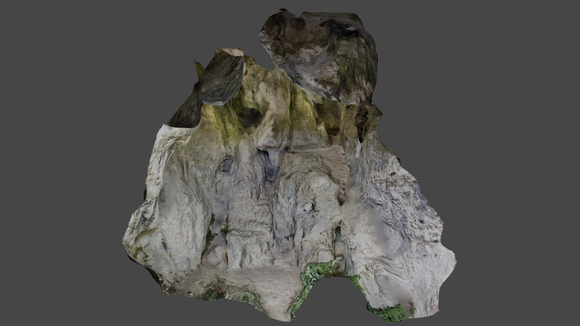
- Opened the file in Blender to do any editing, rotation, etc. of the model.
- Saved the model in Blender (.blend) and STL formats (.stl) using the "Save" and "Export" commands in Blender.
- Run the cave-outliner tool using the following command line:
--crosssection y 0 Grafenloch-Map-Y.svg \
--crosssection x 2.2 Grafenloch-Map-X.svg \
--name "Grafenloch" --location "Oberaudorf, Germany" \
--coordinates "N 47.640813 E 12.164877" \
Grafenloch-3D-STL.stl Grafenloch-Map.svg
- Opened the resulting Grafenloch-Map.svg file in Apple's Graphic tool.
- Made any edits needed and saved in Graphic format (.idraw) and as PDF/JPG (.pdf and .jpg).
- Copied the results to my website.


No comments:
Post a Comment