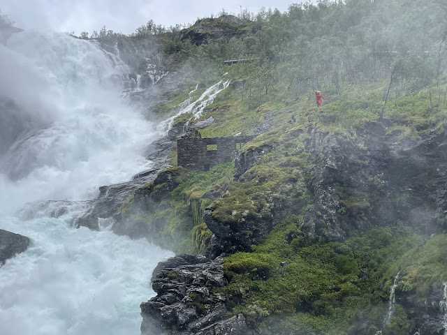
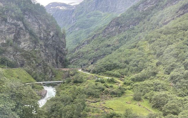
While going on the Flåm railway (see the other article), I noticed that on Google Maps there was a marking for a "cave waterfall", Grottefossen-Høgabru. I saw it briefly when the train drove by, the river entered the mountain and came out shortly thereafter on the other side. And there was an additional similar underground water flow after the Kjosfossen waterfall, under the station. These seem man-made, however, as in both cases the water is taking a different direction to bypass the station or the bank that the rails were on.
So they are tunnels, not caves.
In Kjosfossen the tunnel goes through the power station as well.
The upper one near Kjosfossen is here: N 60.746953 E 7.135646. Photos:
The lower one, Grottefossen-Høgabru, in is here: N 60.806371 E 7.118091. One photo is the top of this article. Other photos:
And here's a small video of the Flåm train rides:
More photos of the Flåm railway:
And photos from Flåm town:
Read the full Planetskier series at planetskier.net, urban exploration stories from theurbanexplorer.net, and other underground stories from planetcaver.net, or all blog articles from Blogspot, TGR. Photos and text (c) 2025 by Jari Arkko, except where otherwise indicated. All rights reserved.


No comments:
Post a Comment