Tuesday, June 2, 2020

A tour of three closed ski areas


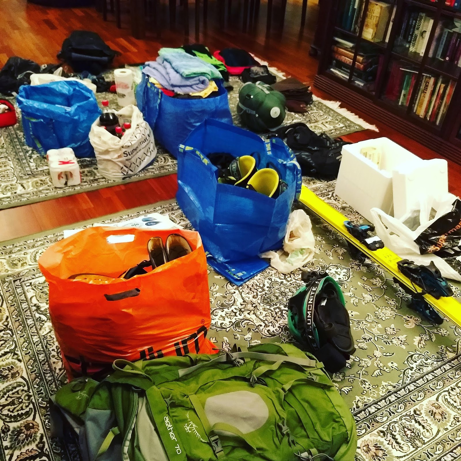
Government: we're opening domestic travel. Me: busy packing skis, caving gear, tents, sleeping bags.

But wow! I'm happy how this trip turned out! Three closed ski areas on one day. 500 kilometers of driving, though, on this avoid-contact-with-others trip.

First I went to Himos, which turned out to have 1.5 meters of snow. That's the length, not thickness. The grassy hill was also too steep and rocky for easy skiing, but I skied it anyway.

Then I went to Kasurila, which had plenty of snow piles, not all connected though. Very nice stop! Many years ago I had a winter visit here as well, and that visit also left nice memories.

But the cake was taken by Tahko. What a wonderful experience! More on that in the article about Tahko! Also, afterwards I went caving, see article 1 or 2.


Himos:


Kasurila:


Tahko:


Camp:


This article has also been published at TGR. See more Planetskier stories from TGR, Blogspot, and Planetskier.net. Photos, videos, and text (c) 2020 by Jari Arkko. All rights reserved.

Data sources for cave search


Yay, a delivery! I got the third book in the series of cave, canyon, and boulder books from Tuomo Kesäläinen and Aimo Kejonen! Very excited to read this as well!

But this is also a good opportunity to talk about the data sources for cave search in general.  For known caves, there's of course the cave part of the trilogy -- "Suomen Luolat" -- but also Retkipaikka, Planetcaver's map of caves, Jarmo's page, and the Finnish Caving Association's cave map page.

But that is not so interesting in my opinion as looking for new caves. This actually why I ordered the new book about rocks and boulders. It may point me to areas where there are collections of loose boulders, and possibly caves underneath. But of course, the authors being cave enthusiasts they probably already looked at most of it.

Another source is regular maps -- e.g., the one in karttapaikka.fi. Jarmo's page is also very helpful with the easy access to Porkkala remnants locations, a large collection of different overlaid maps (including 1950s air photos), historic artefact locations, and Planetcaver's locations.

I've also enjoyed a lot the government research report on valuable rock areas ("Suomen arvokkaat kivikot"), even if that doesn't cover all rock areas. But for those that it covers, it can identify wonderful, large areas of boulders. And again, often caves underneath!

To find out more, I talked to one of the authors of that research report Jukka Räisänen from GTK. He pointed me to one further data source: The Maankamara server. This is a web resources for map data on ground materials. You can click on or off a wealth of information, from primary ground rock type to geothermal status, and my personal favourite -- Littorina sea borders. My theory is that many of the interesting caves in the Finnish coastal areas are actually sea front caves rather than pure ice age effects like the traditional theory is. Experiment with clicking on the different map layers!

Finally, there's the rubber boot method -- just walk your favourite places. Much recommended. You may also direct your walks to the areas with most cliffs and some boulder markings on the map.

See more caving stories at Planetcaver.net, and all Planetskier and Planetcaver stories at Blogspot and TGR! This article, pictures and videos is (c) 2020 by Jari Arkko. All rights reserved.


Saturday, May 23, 2020

Röylä hike (with cavelets!)


Röylä. A place with an ugly name and no one with interest to visit there? Not so. The forests are quite big, and full of cliffs, and indeed, no one goes there so one gets to hike alone :-)

As usual, I was on a lookout for smaller or larger holes in the rocks.

I found three tiny rock holes, one that one could perhaps call a cavelet (small cave), the other two are just holes in rock.


Crack cavelet:


Tiny roof cave:


Cavelet under boulders:


See more caving stories at Planetcaver.net, and all Planetskier and Planetcaver stories at Blogspot and TGR! This article, pictures and videos is (c) 2020 by Jari Arkko. All rights reserved.

Kaupunginkallio cavelet


I go hiking on a different spot on most days, as my evening exercise. This time in Kaupunginkallio, Espoo.

I found a small crack in the rock, smaller than I'd dare even call a cavelet! Maybe 1.2 meters long, but one can squeeze in, just about... coordinates: N 60.20160 E 24.64864.

But at least there were nice flowers on this hill!


See more caving stories at Planetcaver.net, and all Planetskier and Planetcaver stories at Blogspot and TGR! This article, pictures and videos is (c) 2020 by Jari Arkko. All rights reserved.

Thursday, May 21, 2020

Voitelu kunnossa. Summer waxing.


Skiing in the summer takes waxing skill. But, this time I think I managed it.

With soap.


This article has also been published at TGR. See more Planetskier stories from TGR, Blogspot, and Planetskier.net. Photos, videos, and text (c) 2020 by Jari Arkko. All rights reserved.

Högaberget, Espoo


Tiny cavelets on my evening walk again.

One tiny space under a large boulder ("siirtolohkare") at coordinates N 60.21509 E 24.60227. Maybe not worth classifying as a cave.

One small space under a couple of smaller boulders at coordinates N 60.21327 E 24.60157. I'd call this a cavelet.

One small space in a hole under a cliff. Maybe either nothing or a tiny cavelet. Coordinates N 60.21294 E 24.60094.

Cavelet under boulders:


Hole under the cliff:


The large boulder:


See more caving stories at Planetcaver.net, and all Planetskier and Planetcaver stories at Blogspot and TGR! This article, pictures and videos is (c) 2020 by Jari Arkko. All rights reserved.

Wednesday, May 20, 2020

Volvo running fine. Maybe.


The Volvo is running fine, although not very much, drive only a bit every second day or say. And today I've started hearing some odd noise... and now I'm a bit worried.

Gåskärr cavelets and boulders


During the quarantine, I've taken up trying to hike almost every day. It turns out that I can go within just a few kilometers from home and still end up in areas that I've not been to before. The forests not marketed as the hottest hiking areas, etc. And almost every time, there are some tiny rock holes that one could call "cavelets".

This was also true in Gåskärr/Tollinmäki, an area just north of the Ring III road and Bemböle. There was one cave that perhaps could even be called a cave, 3.5 meters by 1.5 meters space under a rapakivi (crumbling stone) boulder. Very interesting! The coordinates for this cave are N 60.23004 E 24.67102. A cave map is available here.

There was also another nice but little overhanging roof on a cliff. Just 2.2 meters long and 1 meters wide, but quite enclosed. And quite green, as the above picture shows! Coordinates for this cavelet are N 60.23075 E 24.67402. And a cave map is available here.

Rapakivi cave:


Green cave:


See more caving stories at Planetcaver.net, and all Planetskier and Planetcaver stories at Blogspot and TGR! This article, pictures and videos is (c) 2020 by Jari Arkko. All rights reserved.


Monday, May 11, 2020

Summer has been CANCELLED


I was sure that the season is over. Then... it started snowing.

Powder 8 on the Grani hill, on May 11!


This article has also been published at TGR. See more Planetskier stories from TGR, Blogspot, and Planetskier.net. Photos, videos, and text (c) 2020 by Tero Kivinen and Jari Arkko. All rights reserved.

Sunday, May 10, 2020

Patchy skiing in Vihti


Tero and I went to Vihti to see if we could still ski it. Vihti is the best, much snow left! A few parts not covered in snow, but one can ski through them!

We did not touch any objects or even be close to each other on this trip. Proper social distancing.


The slope:


Tero:


More pictures of Jari:


More pictures of the slope:


This article has also been published at TGR. See more Planetskier stories from TGR, Blogspot, and Planetskier.net. Photos, videos, and text (c) 2020 by Tero Kivinen and Jari Arkko. All rights reserved.