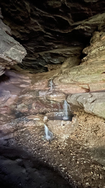
Bärenhöhle: small cave by Central European standards, but a wonderful place to visit. And easy. A nice hike to a lush valley on a path and there you are. Water is flowing from the cave, dropping through the steps of rocks... moss has painted the cave green... there's a bit of climbing if you want to get to the end of the cave. Very nice!
Bärenhöhle is here: N 49.224340 N 7.615903. You can find parking on the highway above, as there are a couple of side roads. Just don't block the traffic through these side roads. One of them is large enough to be used for side parking.
I also did a quick scan of the cave on my iPhone's LIDAR system. You can access the resulting 3D model in here in GLB, STL, or BLENDER formats. Or if you want to rotate the model on your screen, click here.
Here's an image of the model:
I also used my "Cave Outliner" software (GitHub) to do a map based on the 3D model. Interestingly, the map shows the cave length to be 45 meters, whereas the Wikipedia page about the says only 37... I trust my measurements more :-)
Here's the map picture:
And cross-sections:
The high-res map can be found in PDF form here.
This is how water flows from the upper part to the lower one:
Here are some nice silhouettes of the cave from inside:
And the second one at N 49.223647 E 7.615677:
Read more urban exploration stories from theurbanexplorer.net, and other underground stories from planetcaver.net. Read the full Planetskier series at planetskier.net, or all blog articles from Blogspot or TGR. Photos and text (c) 2023 by Jari Arkko. All rights reserved.


No comments:
Post a Comment